trek
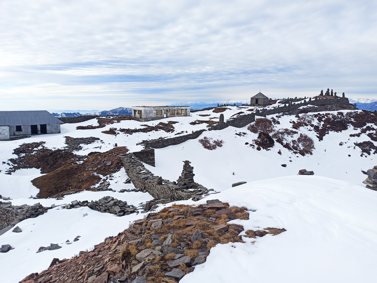
Raghupur Fort
Trek, History & Views from Jalori Pass
Raghupur Fort sits on a ridge above Jalori Pass at roughly 3,400 metres — high enough that on a clear October morning, you can see snow peaks across three districts from the same spot. The trek is 3 km one way from the pass, takes under two hours, and is one of the most rewarding short climbs in the Tirthan Valley. Most people visiting Jibhi know about Serolsar Lake.
Location
Above Jalori Pass, Banjar valley, Kullu district
Starting Point
Jalori Pass (3,120 m)
Fort Altitude
~3,400 m
Trek Distance
3 km one way
Trek Time
1.5–2 hrs up, 1–1.5 hrs down
Overview
Raghupur Fort sits on a ridge above Jalori Pass at roughly 3,400 metres — high enough that on a clear October morning, you can see snow peaks across three districts from the same spot. The trek is 3 km one way from the pass, takes under two hours, and is one of the most rewarding short climbs in the Tirthan Valley. Most people visiting Jibhi know about Serolsar Lake. Fewer know about Raghupur Fort — and that is exactly why it is worth doing.
At a Glance
Location
Above Jalori Pass, Banjar valley, Kullu district
Starting Point
Jalori Pass (3,120 m)
Fort Altitude
~3,400 m
Trek Distance
3 km one way
Trek Time
1.5–2 hrs up, 1–1.5 hrs down
Difficulty
Easy to Moderate
Distance from Jibhi
~13 km by road + 3 km trek
Entry Fee
None
Permits
None required
Best Season
April–June, September–November
Trailhead
Getting to the Trailhead
The trek starts at Jalori Pass, approximately 13 km from Jibhi by road. The drive takes 45–60 minutes — the road climbs sharply through forested switchbacks. It is paved throughout and manageable in any car including hatchbacks. At Jalori Pass the Raghupur Fort trail starts to the right; Serolsar Lake goes left. Both are well-worn — ask at the tea stalls if unsure.
Trail Breakdown
The Trail
01
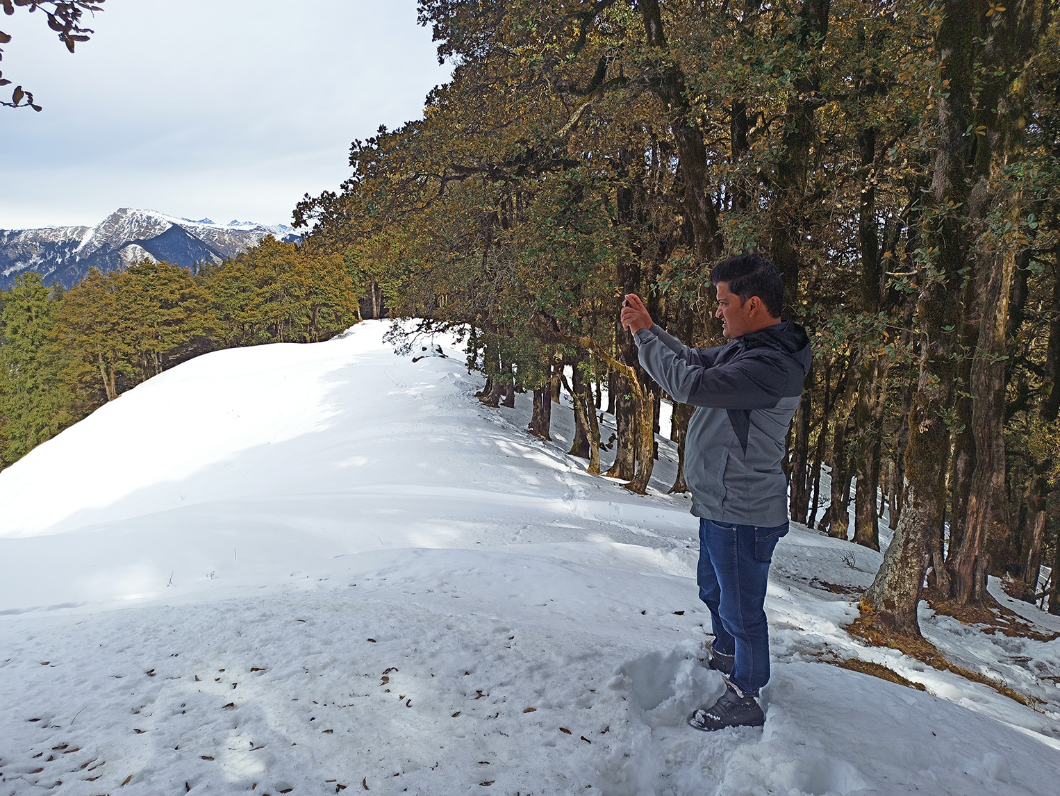
Jalori Pass to forest section
0–1 kmDense oak and rhododendron, flat to gentle climb. Canopy stays cool even in June.
02
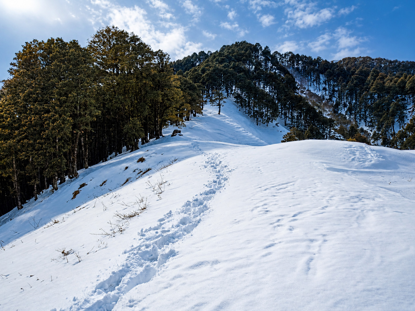
Forest to meadow
1–2 kmForest thins, incline increases. Ridgeline becomes visible ahead.
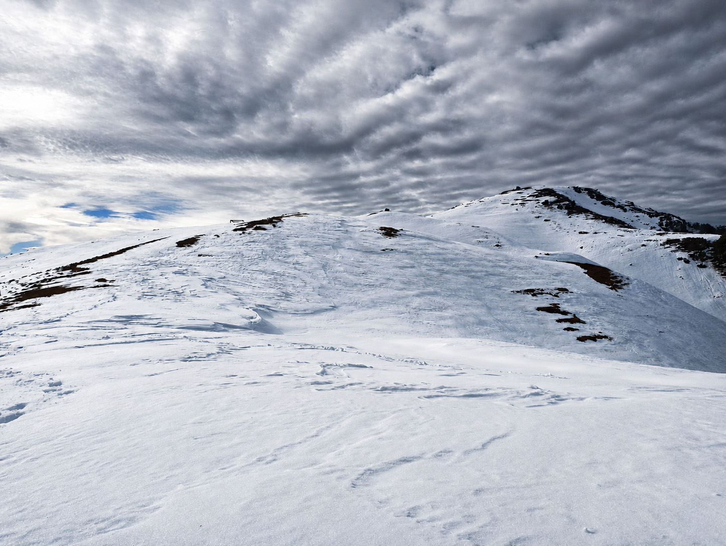
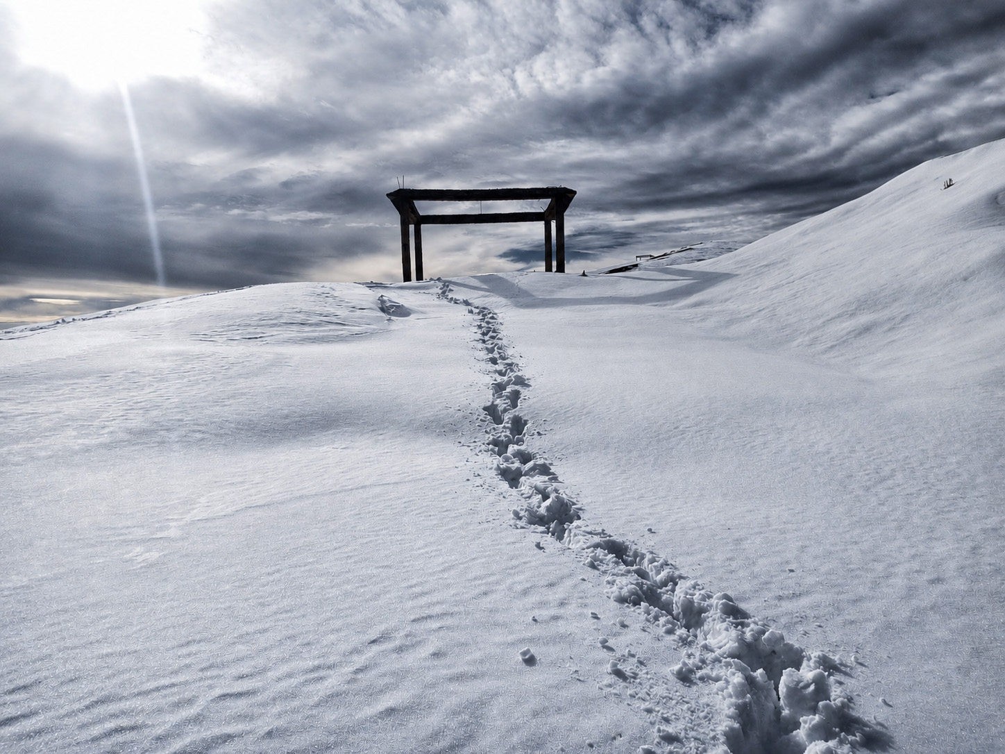
03
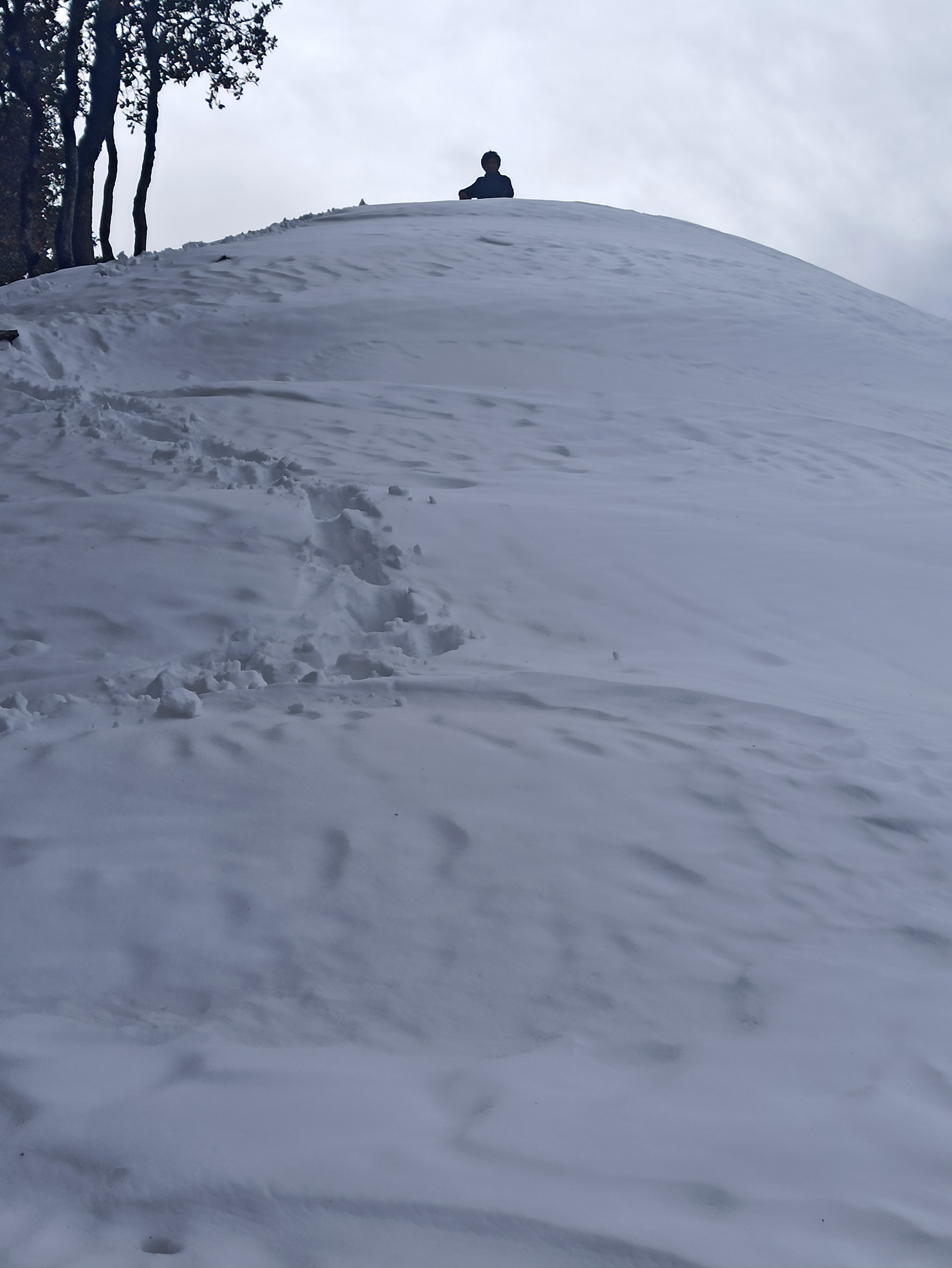
Meadow to summit
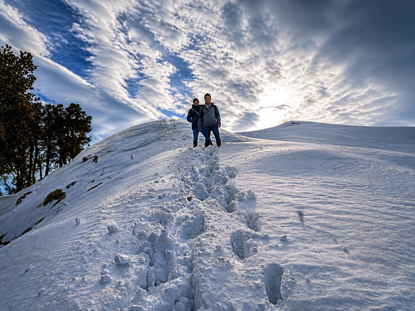
2–3 kmOpen ridgeline, steeper gradient, wind picks up. Views open on both sides.
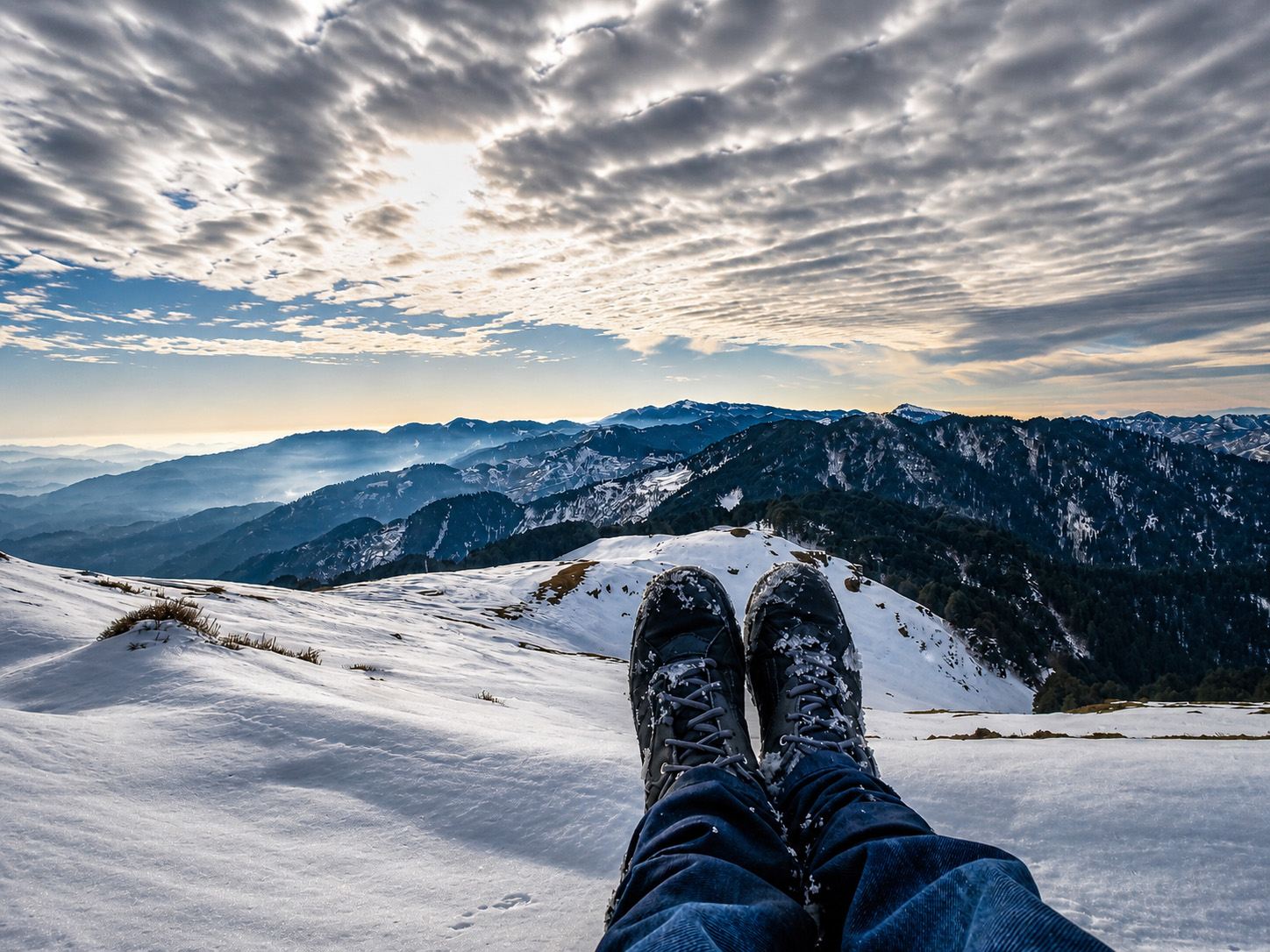
Summit & Views
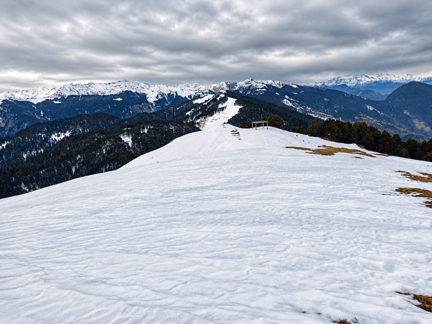
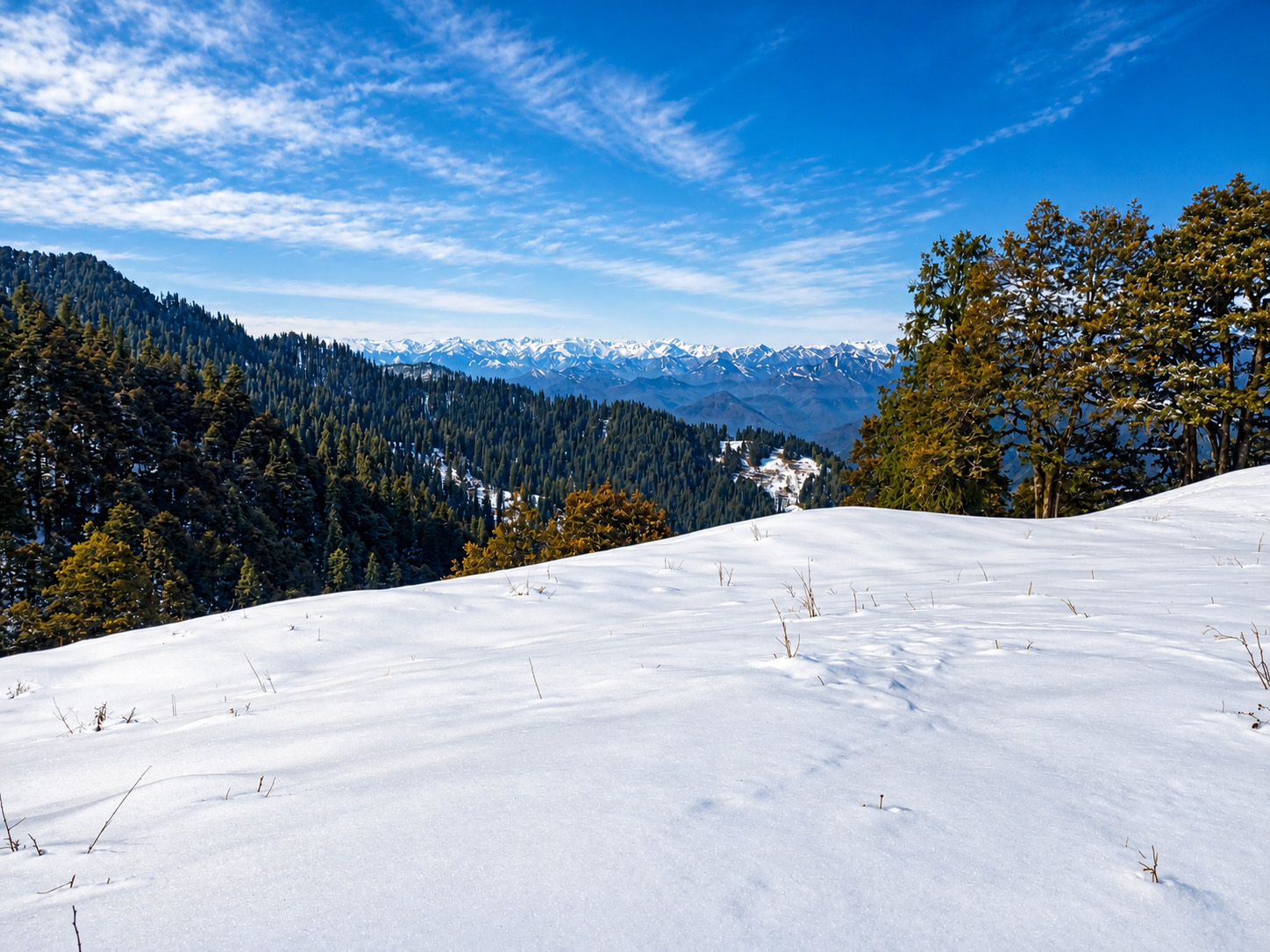
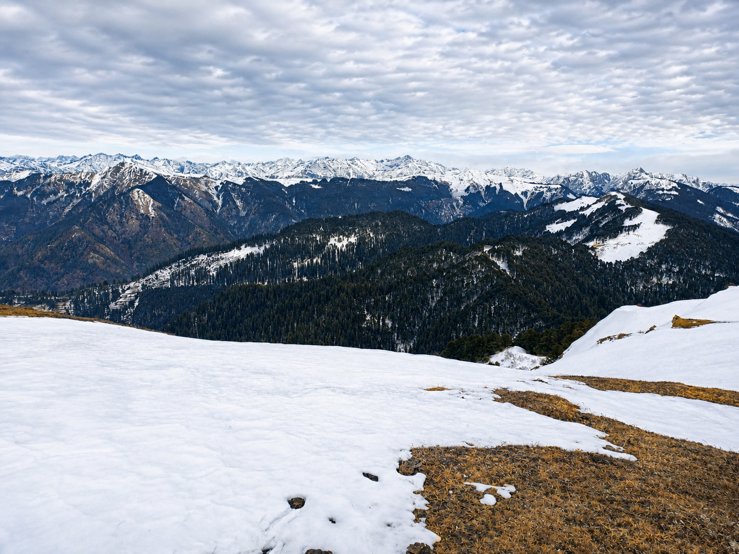
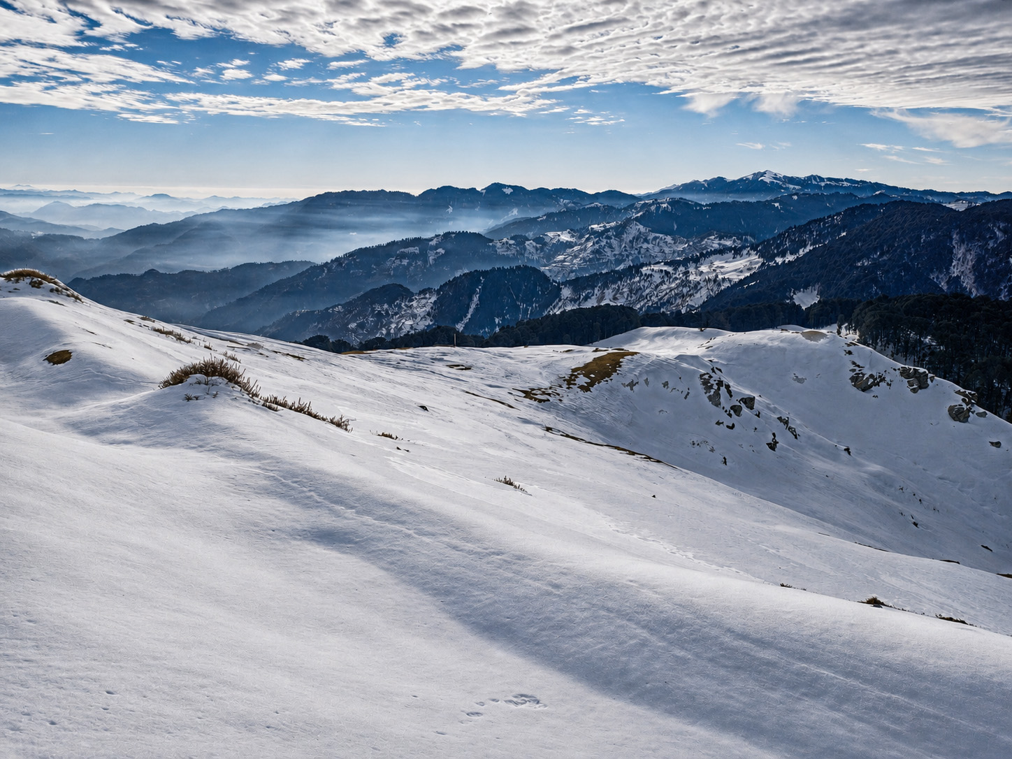
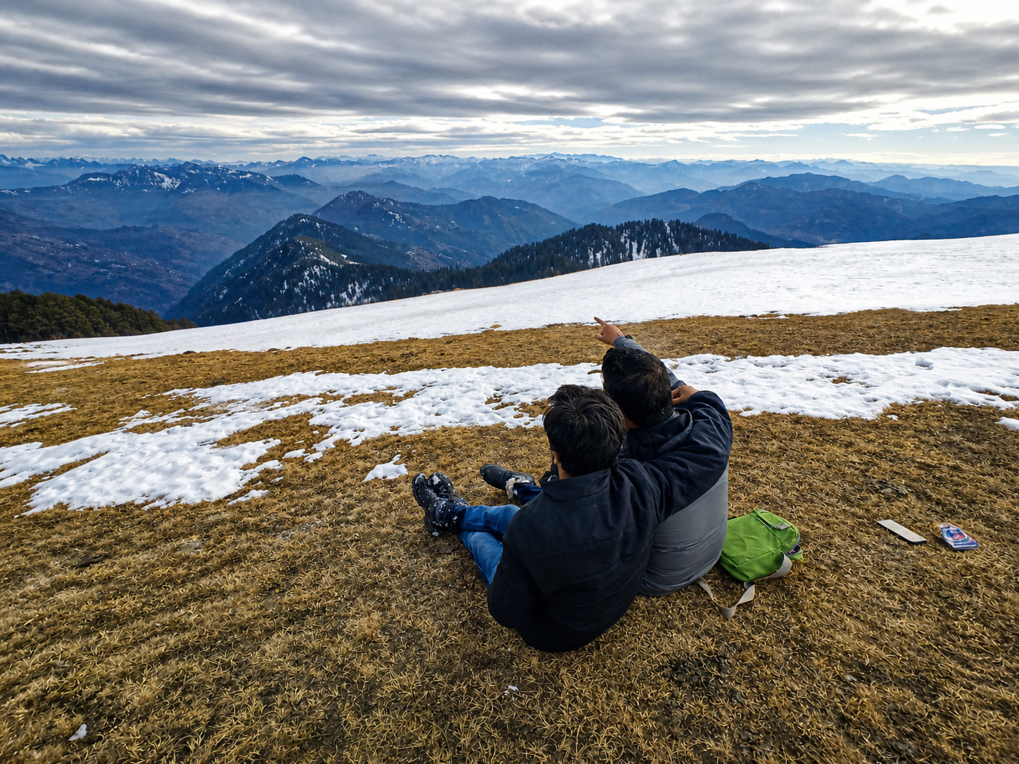
The Views
The summit delivers a near-360° panorama. North and northeast: snow peaks clearly visible on clear mornings — ranges extending toward Kinnaur and beyond 5,000 m. South: the Jibhi valley and Tirthan River stretching toward Aut. West: the Sainj Valley opening below the pass. East: the ridge continuing, Jalori Pass visible behind you. Best light is before 10 AM — arrive at the summit by 8–8:30 AM.

Difficulty
Who Can Trek This
Easy to Moderate
No technical sections, no river crossings, no scrambling. The trail is a consistent uphill walk on a clear path. The main challenge is altitude — at 3,400 m the air has significantly less oxygen than the plains. Go slow, drink water every 15–20 minutes.
Beginners and first-time trekkers
Families with children aged 8+
Moderately active older adults
⚠ Consult a doctor before trekking if: People with serious heart or lung conditions
Packing List
What to Carry
Water: minimum 1.5L
No water sources on trail; altitude causes hidden dehydration
Snacks or packed lunch
3+ hours of trekking; summit is a good lunch spot
Jacket or windproof layer
Mandatory — ridge is significantly windier than the pass
Trekking shoes with grip
Trail can be muddy; upper section has loose rock
Sunscreen SPF 50+
UV is ~30% stronger at 3,400 m; no shade on upper ridge
Sunglasses
Glare and UV exposure at altitude
Charged phone (offline maps)
No signal on trail — download maps before leaving Jibhi
Basic first aid
Nearest help is at Jalori Pass tea stalls, then 45 min to Jibhi
Weather
Raghupur Fort — Weather by Month
| Month | Temp | Condition | Visibility | Notes |
|---|---|---|---|---|
| January | −5 to 5°C | Snow possible | Clear on fine days | Jalori Pass road may be closed |
| February | −3 to 7°C | Snow possible | Clear | Check road before going |
| March | 3 to 11°C | Open, some mud | Good | Season starting |
| April | 7 to 14°C | Open, good | Good | Rhododendrons flowering |
| May | 10 to 17°C | Excellent | Good to hazy | Peak season, busy weekends |
| June | 11 to 17°C | Good | Morning clear | Go early |
| July | 8 to 14°C | Slippery (monsoon) | Poor — cloud cover | Not recommended |
| August | 7 to 13°C | Slippery | Poor | Not recommended |
| September | 8 to 14°C | Improving | Late Sep: good | Late September onwards |
| October | 3 to 12°C | Excellent | Best of the year | Top month for views |
| November | −2 to 9°C | Good → closing | Very clear | Go before mid-November |
| December | −5 to 5°C | Snow possible | Clear on fine days | Road check needed |
Compare
This Trek vs Serolsar Lake
| Detail | This trek | Serolsar Lake |
|---|---|---|
| Distance (one way) | 3 km | 4–5 km |
| Time (one way) | 1.5–2 hours | 2–2.5 hours |
| Trail type | Ridgeline, open | Forest, enclosed |
| Main reward | Panoramic views | Sacred lake, forest |
| Crowd level | Lower | Moderate to high |
| Best for | Views, photography | Nature walk, lake destination |
| Difficulty | Moderate (wind, altitude) | Easy to Moderate |
Choose this trek if
Panoramic views are your priority, you want fewer people, or you are going early for the best morning light.
Choose Serolsar Lake if
You prefer a forest walk with a clear destination, or are trekking with younger children who do better on flatter terrain.
Can you do both in one day?
Possible for fit trekkers starting by 7 AM. Total ~14–16 km round trip. For most visitors, separate days is the better call.
Practical
Practical Notes
Gallery
11 photos
Frequently Asked
Common Questions
How long does the Raghupur Fort trek take?
Allow 4 hours total from Jalori Pass and back: 1.5–2 hours ascending, 20–30 minutes at the summit, 1–1.5 hours descending. Budget a full day including the drive from Jibhi.
What is the altitude of Raghupur Fort?
Raghupur Fort sits at approximately 3,400 metres above sea level. The trek starts from Jalori Pass at 3,120 m and climbs roughly 280 m to the ridgeline. Go slow and drink water consistently.
Is Raghupur Fort trek suitable for beginners?
Yes. No technical sections, no scrambling. The trail is a clear uphill walk. The main challenge is altitude — take it at your own pace and drink water every 15–20 minutes.
What is the best time to visit Raghupur Fort?
October for clearest views and autumn colour. April and May for green landscapes and stable weather. Avoid July and August (slippery trail, poor visibility). December–February requires checking Jalori Pass road conditions first.
Is there an entry fee for Raghupur Fort?
No entry fee and no permits required. The trek and the ruins are free to access.
What is the Raghupur Fort weather like?
At ~3,400 m the summit is significantly colder and windier than Jibhi. In May: 10–17°C on the ridge. In October: 3–12°C. In winter: can drop below −5°C with wind chill. A jacket is required in every season.
Can children trek to Raghupur Fort?
Yes, children aged 8 and above can comfortably manage the 3 km trail. The terrain is not technical. Younger children may need to be carried on steeper sections.
Can I do the trek in the evening?
No. The trail is unlit and the descent on the open ridgeline in fading light is risky. Start from Jalori Pass by 9 AM at the latest.
Plan Your Visit
Stay at Winterfell, Explore from Here
Private cottages in Jibhi and Tandi — hot tubs, valley views, no OTA markup. A short drive to everything worth doing in the valley.