trek
Jalori Pass
High Mountain Pass, 360 Point & Gateway to Two Treks
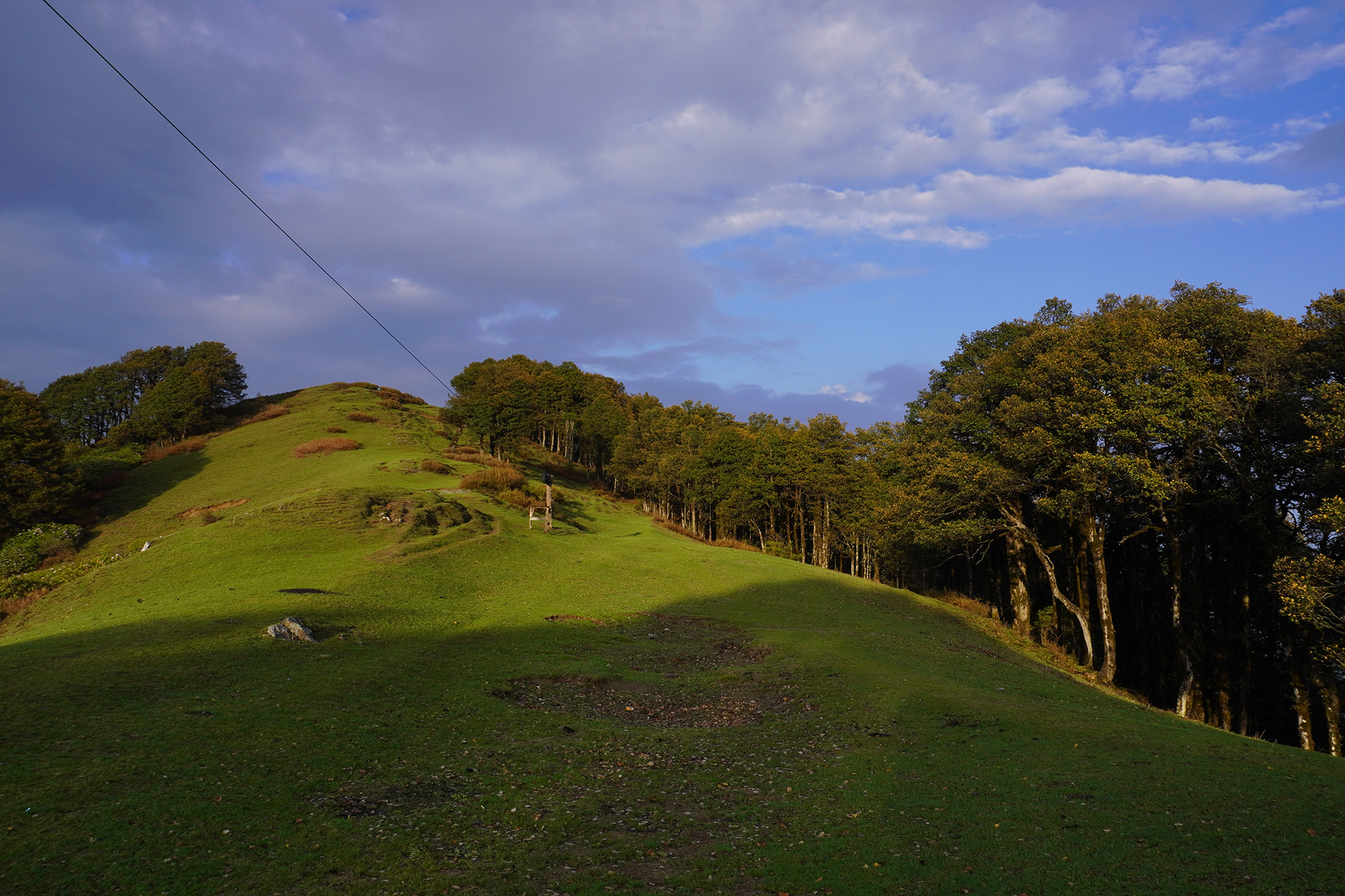
Jalori Pass sits at 3,120 metres — one of the most accessible high-altitude passes in Himachal Pradesh. The road climbs fast after Jibhi: pine trees thin out, bends tighten, and the air changes before the view does. Most people arrive, take photos, and leave.
Also known as
Jalori Jot
Altitude
~3,120 m (10,236 ft)
Distance from Jibhi
~13 km by road
Drive time
45–60 minutes
Distance from Shoja
~7 km
Overview
Jalori Pass sits at 3,120 metres — one of the most accessible high-altitude passes in Himachal Pradesh. The road climbs fast after Jibhi: pine trees thin out, bends tighten, and the air changes before the view does. Most people arrive, take photos, and leave. That misses the best of it. The pass is the gateway to Raghupur Fort, Serolsar Lake, and the 360 Point viewpoint — and the ridge itself marks the historic boundary between Inner Seraj (Banjar valley) and Outer Seraj (Anni tehsil), a route that connected this valley to Shimla and Kinnaur long before any motorable road existed.
At a Glance
Also known as
Jalori Jot
Altitude
~3,120 m (10,236 ft)
Distance from Jibhi
~13 km by road
Drive time
45–60 minutes
Distance from Shoja
~7 km
Entry fee
None
Road open
April–November (weather dependent)
Best season
April–June, September–November
Trailhead
Getting to the Trailhead
Drive from Jibhi on the road toward Shoja. Jalori Pass is well-signed — the road is paved throughout and accessible in any car including hatchbacks. Parking at the pass is limited; arrive before 8 AM on peak-season weekends. From the pass, three options: the 360 Point (short steep climb above the pass), Raghupur Fort trail (right side), or Serolsar Lake trail (left side).
Trail Breakdown
The Trail
01
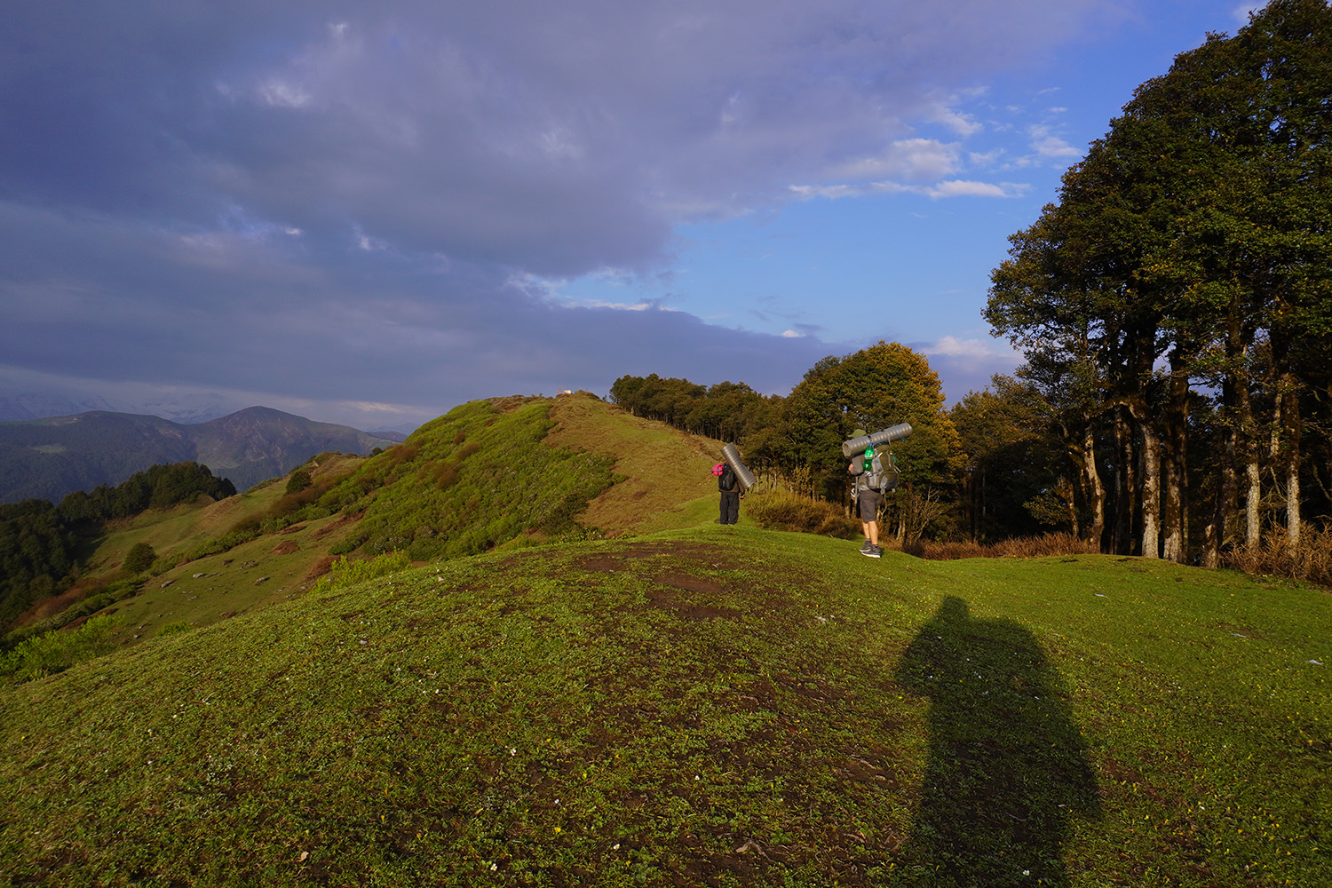
360 Point
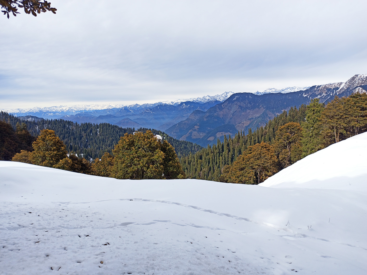
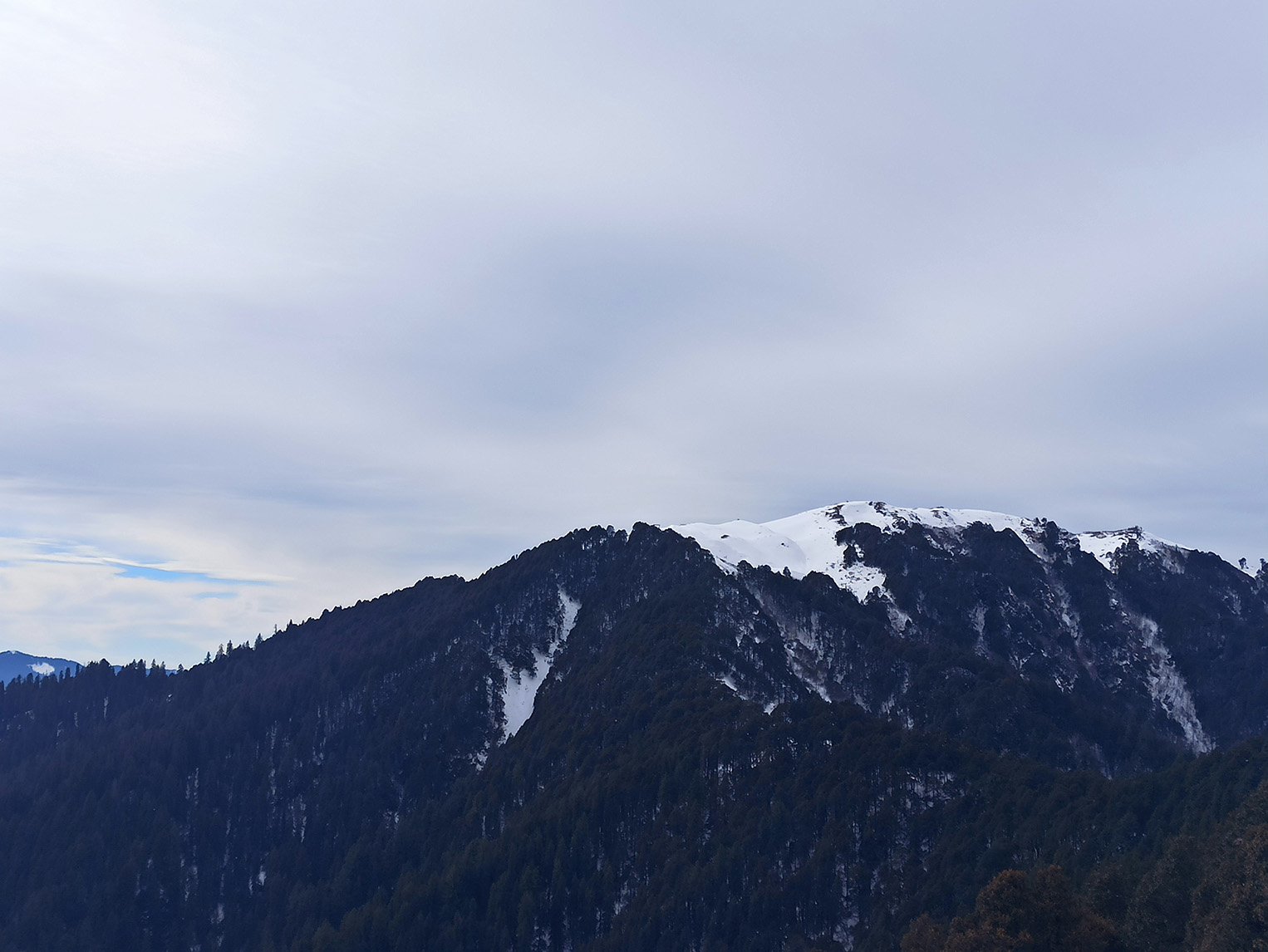
~600–700 m (steep)Short but steep climb directly above the pass. Open ridge at the top with unobstructed 360° panoramic views of surrounding Himalayan ranges. No forest canopy. Takes 20–30 minutes. Best for winter visitors and those who want panoramic views without a full-day trek.
02
Raghupur Fort trail
3 km one wayStarts right side of pass. Forest then open ridgeline, 1.5–2 hours up. Panoramic views at the summit ruins.
03
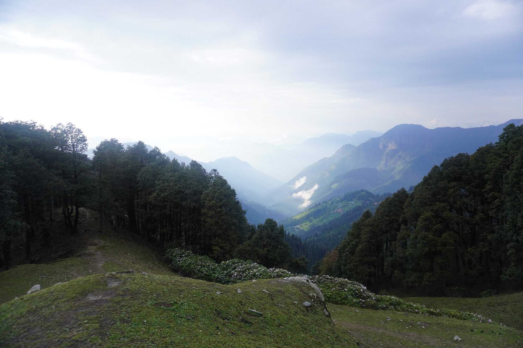
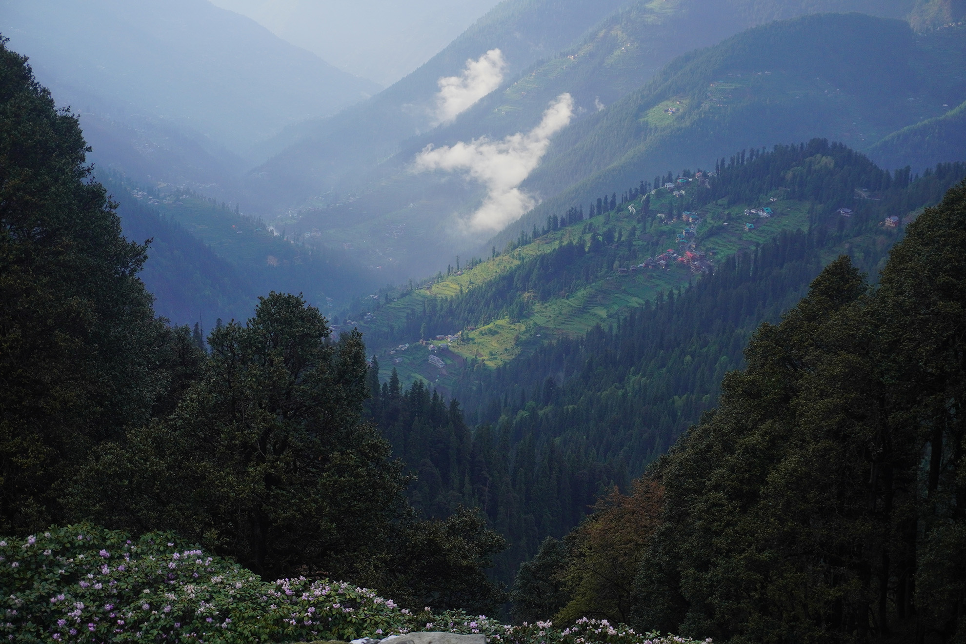
Serolsar Lake trail
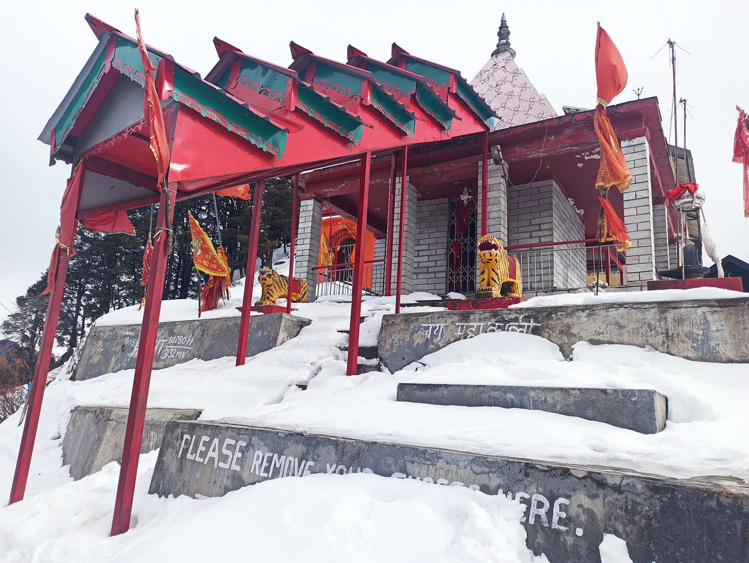
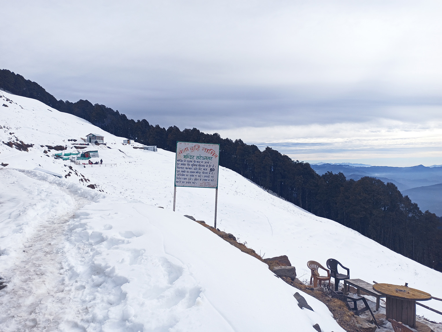
4–5 km one wayStarts left side of pass. Gentle forest walk, 2–2.5 hours. Ends at sacred glacial lake with Budhi Nagin temple.
Summit & Views
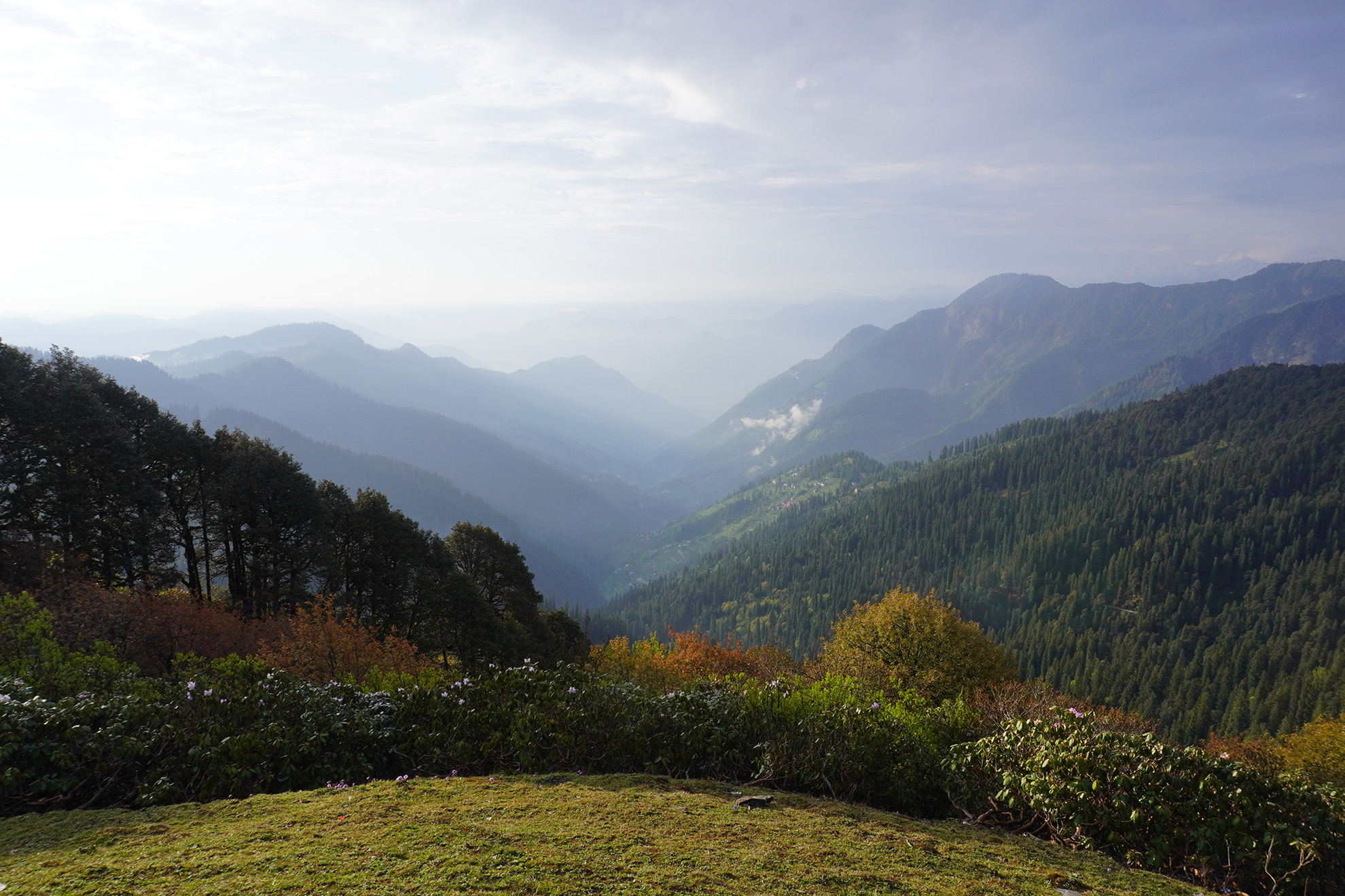
The Views
From the 360 Point ridge above the pass, the view is unobstructed in all directions — the Tirthan side, the Anni side, and higher snow-capped peaks including Kinnaur and Shimla-side ranges. On clear winter mornings after fresh snowfall, this is one of the most dramatic accessible viewpoints in the region.
Difficulty
Who Can Trek This
Easy (pass) to Moderate (360 Point and treks)
Reaching the pass is just a drive. The 360 Point is a steep 20–30 minute climb — no technical sections but a sharp gradient. Raghupur Fort and Serolsar Lake are separate half-day treks from the same starting point.
All visitors for the pass itself (drive-up)
Most adults for the 360 Point (steep but short)
Beginners for Serolsar Lake trek
Beginner-moderate for Raghupur Fort trek
Packing List
What to Carry
Jacket or fleece
Mandatory in every season — 5–8°C colder than Jibhi at the pass
Water
Tea stalls may not always be open, especially off-season
Trekking shoes
For 360 Point or either trek — steep and potentially muddy
Sunscreen + sunglasses
UV significantly stronger at 3,120 m
Cash
Network is patchy — card payments often fail at the pass
Weather
Jalori Pass — Weather by Month
| Month | Temp | Condition | Visibility | Notes |
|---|---|---|---|---|
| January | 0 to 8°C | Snow possible, road may close | Clear on fine days | Check road before going |
| February | 2 to 10°C | Snow possible | Clear | Road opening possible |
| March | 5 to 12°C | Opening season, some snow | Good | Confirm road is open |
| April | 8 to 15°C | Open and clear | Good | Rhododendrons on approach |
| May | 12 to 18°C | Excellent | Good to hazy | Peak season, busy weekends |
| June | 13 to 18°C | Good | Morning clear | Go early for best views |
| July | 10 to 15°C | Monsoon — fog and rain | Poor | Road check needed |
| August | 10 to 15°C | Monsoon | Poor to moderate | Slippery sections |
| September | 10 to 15°C | Post-monsoon clearing | Late Sep: excellent | Best from late September |
| October | 5 to 12°C | Excellent | Best of year | Peak for views and treks |
| November | 0 to 8°C | Good, possible early snow | Very clear | Go before mid-November |
| December | -5 to 5°C | Snow likely, road may close | Clear on fine days | Check road conditions |
Timing
Best Time to Visit
Best months
- April–June
- September–November
Avoid
- July–August (monsoon fog, slippery road)
October is the single best month — post-monsoon clarity, autumn foliage, all trails open. Winter (December–February) is worth attempting only when the road is confirmed open.
Practical
Practical Notes
Gallery
15 photos
Frequently Asked
Common Questions
What is the altitude of Jalori Pass?
Jalori Pass altitude is approximately 3,120 metres (10,236 feet) above sea level. It is significantly higher than Jibhi (2,150 m) — temperatures at the pass are 5–8°C colder than the valley on the same day.
How far is Jalori Pass from Jibhi?
Jalori Pass is approximately 13 km from Jibhi by road. The drive takes 45–60 minutes on a steep, winding paved road that gains nearly 1,000 m in elevation.
What is the 360 Point at Jalori Pass?
The 360 Point is a short steep climb of roughly 600–700 metres of trail directly above the pass. It takes 20–30 minutes and gives unobstructed panoramic views in every direction.
Which trek is better — Raghupur Fort or Serolsar Lake?
Different experiences. Raghupur Fort (3 km) ends at an open ridge with dramatic panoramic views. Serolsar Lake (4–5 km) ends at a calm sacred lake in old-growth forest. Both are worth doing on separate days.
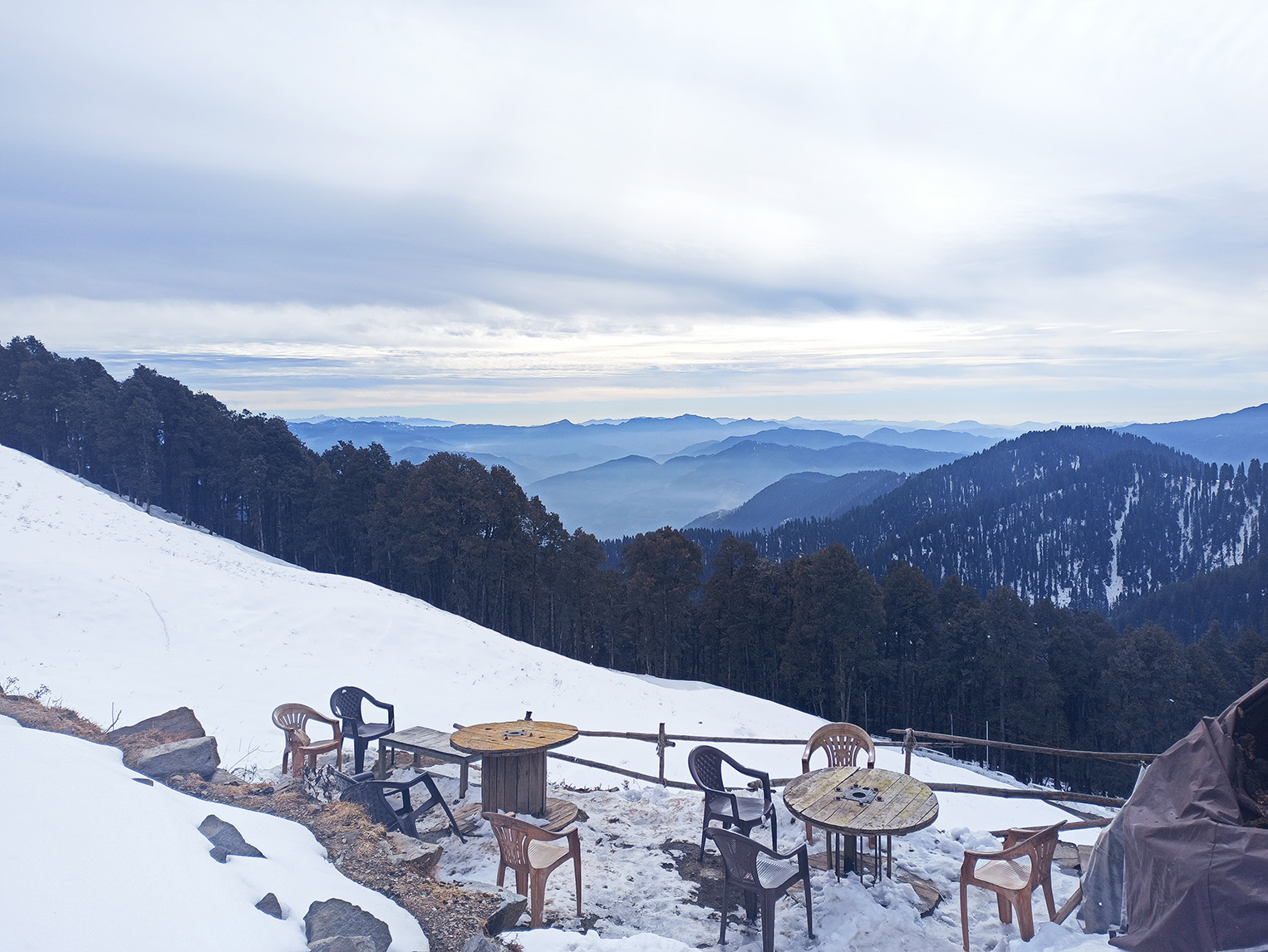
Is Jalori Pass open in winter?
Depends on snowfall. Heavy snowfall typically closes the road December–February, but this varies. Always check with your property the day before.
What is Jalori Jot?
Jalori Jot is the local Pahadi name for Jalori Pass — "jot" means a mountain pass or col. The pass marks the boundary between Inner Seraj (Banjar valley) and Outer Seraj (Anni tehsil).
Can a hatchback drive to Jalori Pass?
Yes. The road is paved throughout. Any car manages in dry weather. In snow or ice, hire a local driver who knows the road.
What is the Jalori Pass trek like?
From the pass, two main treks head off in opposite directions. Raghupur Fort (3 km one way, moderate) takes you to an open ridgeline with panoramic views — 1.5–2 hours up. Serolsar Lake (4–5 km one way, easy-moderate) follows a gentle forest trail to a sacred glacial lake — 2–2.5 hours. There is also a short steep climb to the 360 Point directly above the pass (600–700 m, 20–30 min) for those who want views without a full-day trek.
What is the weather at Jalori Pass?
Jalori Pass is 5–8°C colder than Jibhi on any given day. April–June and September–November are the best months — clear skies, all trails accessible. July–August brings monsoon fog and poor visibility. December–February sees snowfall and possible road closures. Always carry a jacket regardless of season — the pass temperature can surprise visitors expecting valley warmth.
Plan Your Visit
Stay at Winterfell, Explore from Here
Private cottages in Jibhi and Tandi — hot tubs, valley views, no OTA markup. A short drive to everything worth doing in the valley.